
Public participation process
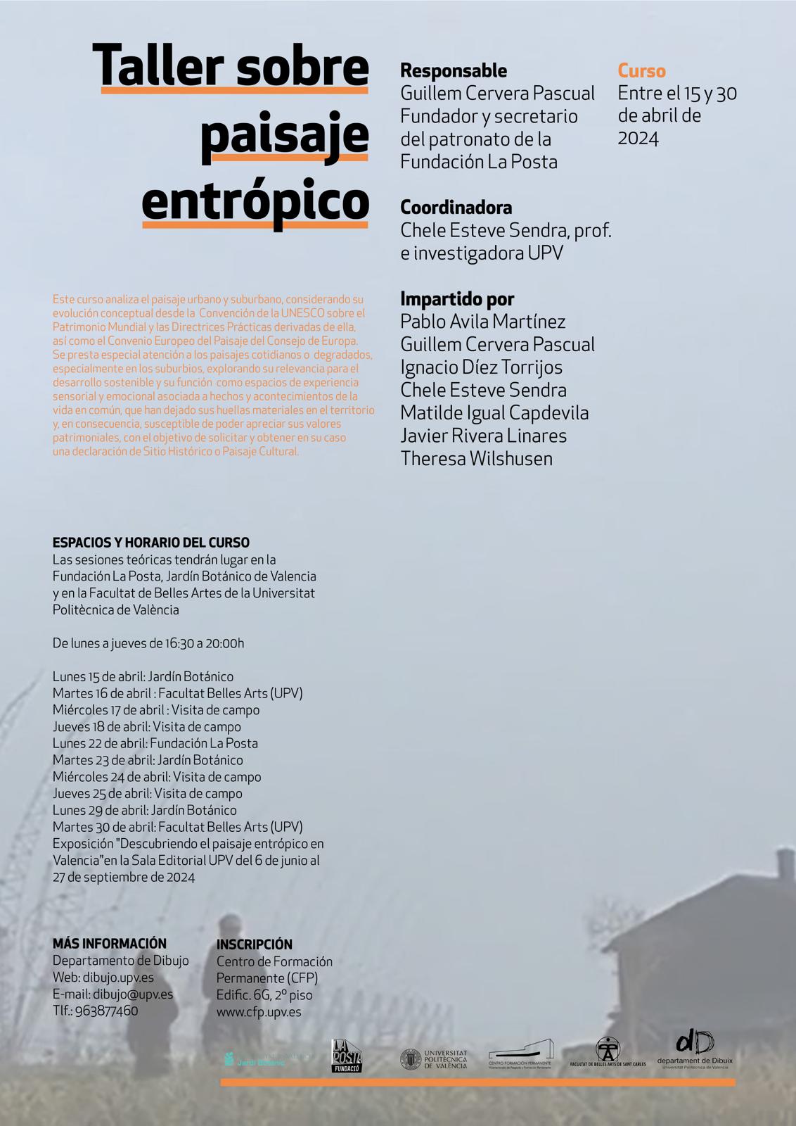
Workshop on entropic landscape (2nd ed.)
Within the framework of the Workshop on Entropic Landscape (2nd ed.), which has been held since mid-April, on day 9 that took place on Monday, May 6, the program stated that we would carry out a “sharing of all experiences during guided tours; projection of images, those taken by the participants; sample of the records carried out; presentation by the participants of proposals for exposing the results of the analyzes carried out on the landscapes”; and about the exhibition, it is said a little later: “The result of the perspective of the participants in the workshop will be shown, on the entropic landscapes studied in guided field visits, with the aim [simulated, because it is an exercise practical], to encourage a process of public participation, as required by the administrative procedures for the declaration and organization of “Historic Sites” and “Cultural Landscapes”, where each participant will show their concerns and respond to the objective of the workshop”. Well, this day concluded with the definition of a complete public participation plan, which is indicated below, to be followed in the coming dates, and on Thursday, June 20, the exhibition was inaugurated in the showcase space of the UPV Editorial, located next to the University Agora.
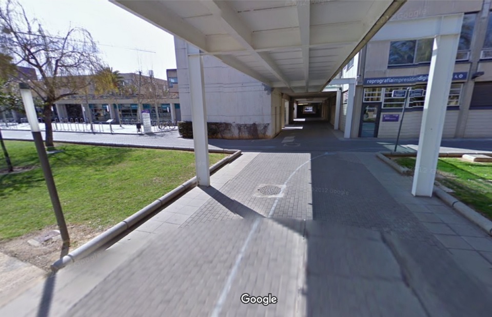
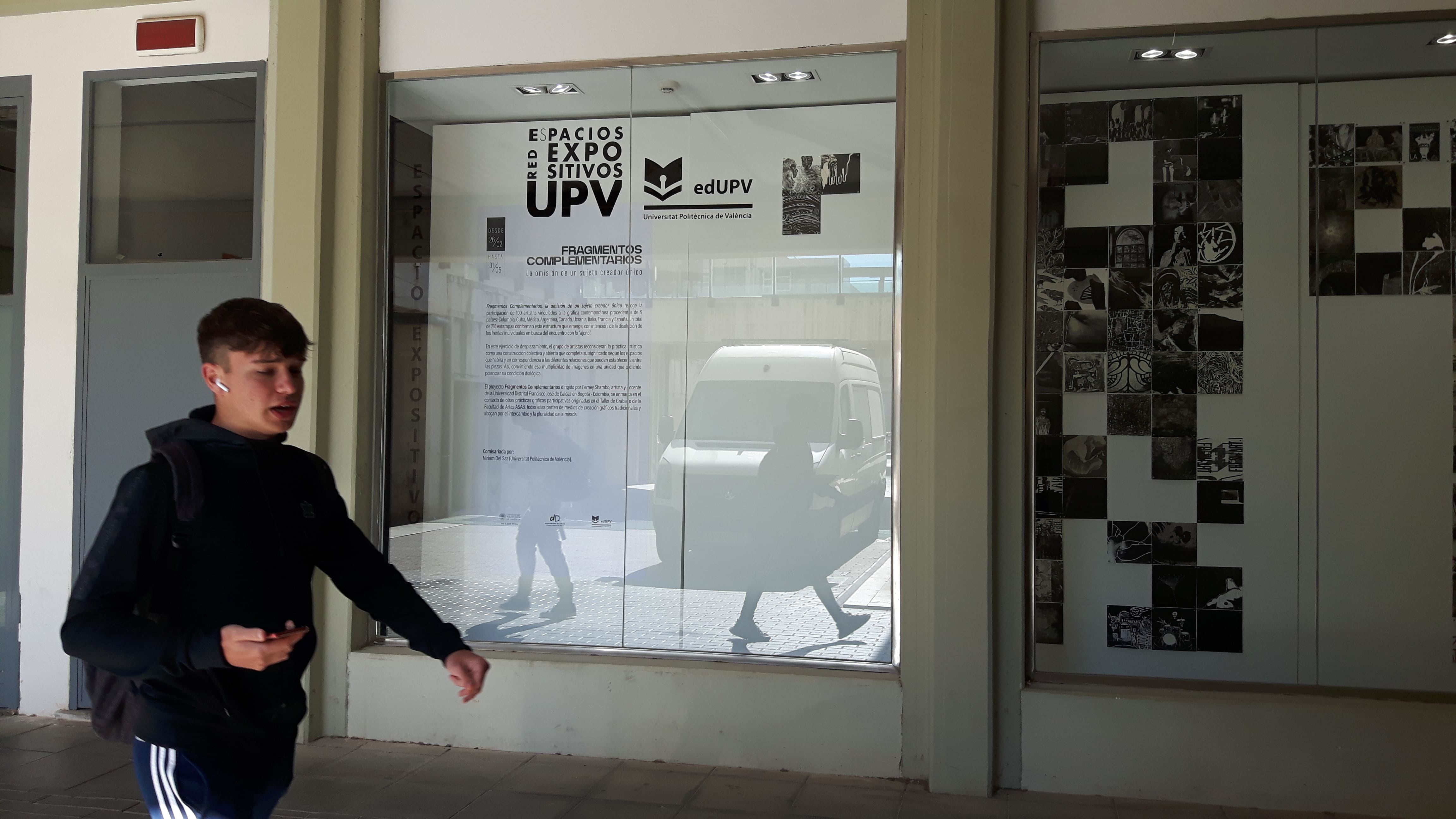
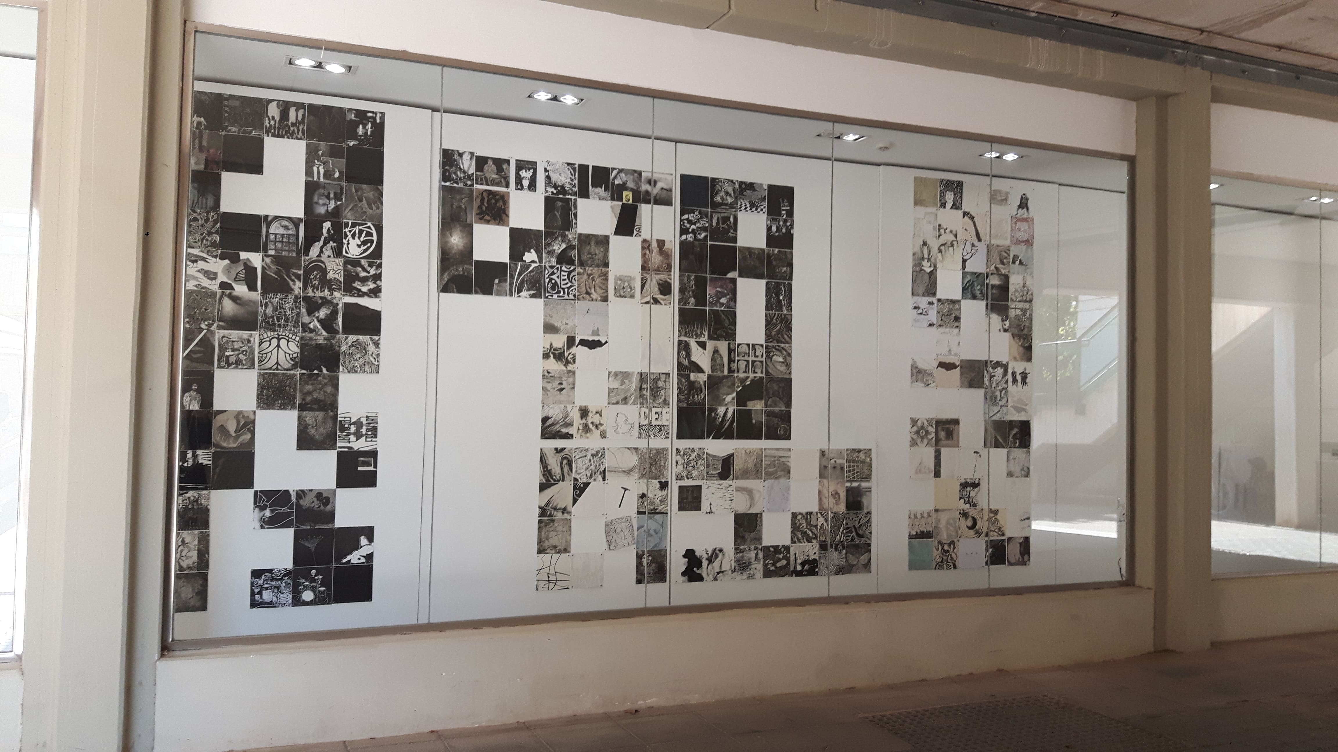
Location of the exhibition: the showcase space of the UPV Publishing House, located next to the University Agora (next to reprography and below the UPV Bookstore).
Public participation plan
1. Invitation to the public to take the same walks that we did.
The routes we take throughout the Entropic Landscape Workshop are:
― Faitanar – Sociopolis – La Torre
Hosted by Matilde Igual Capdevila
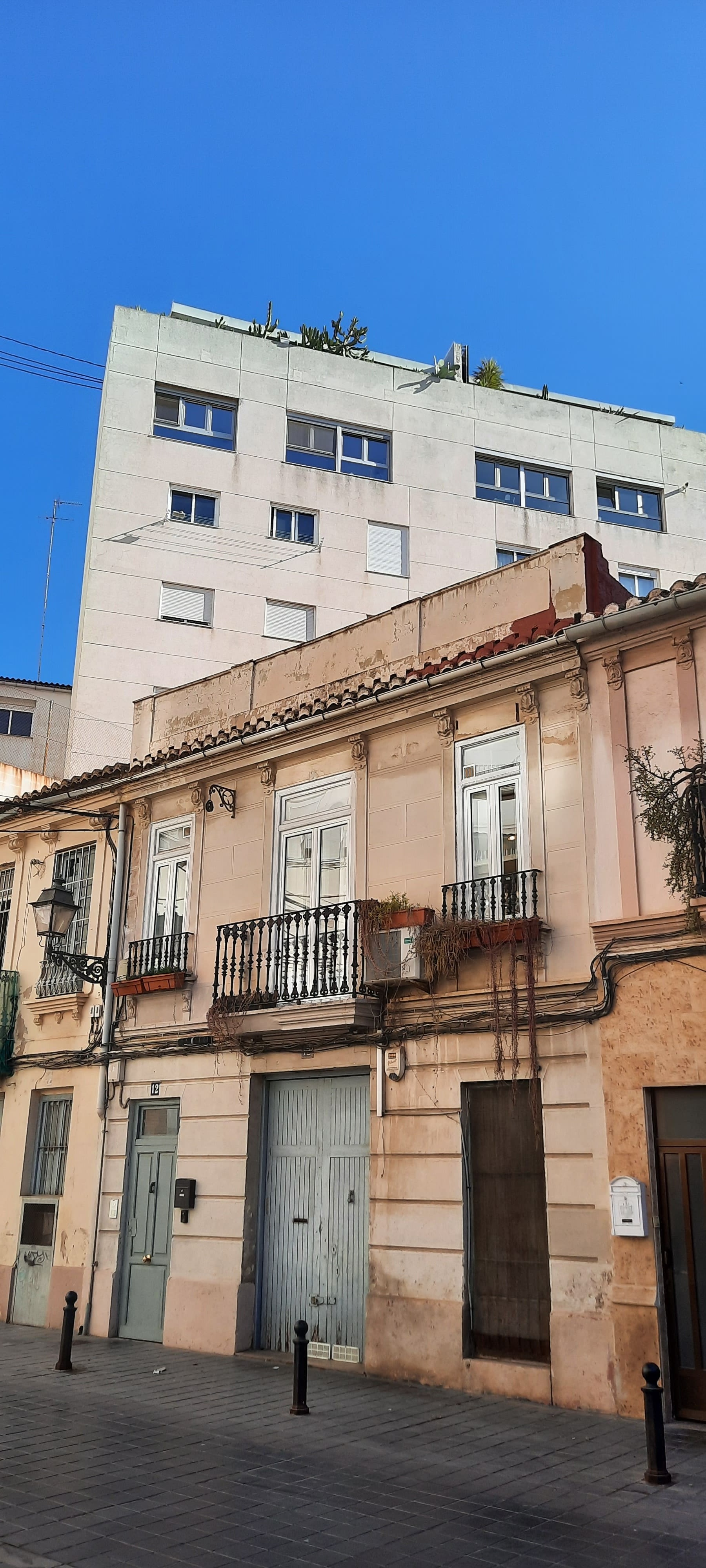
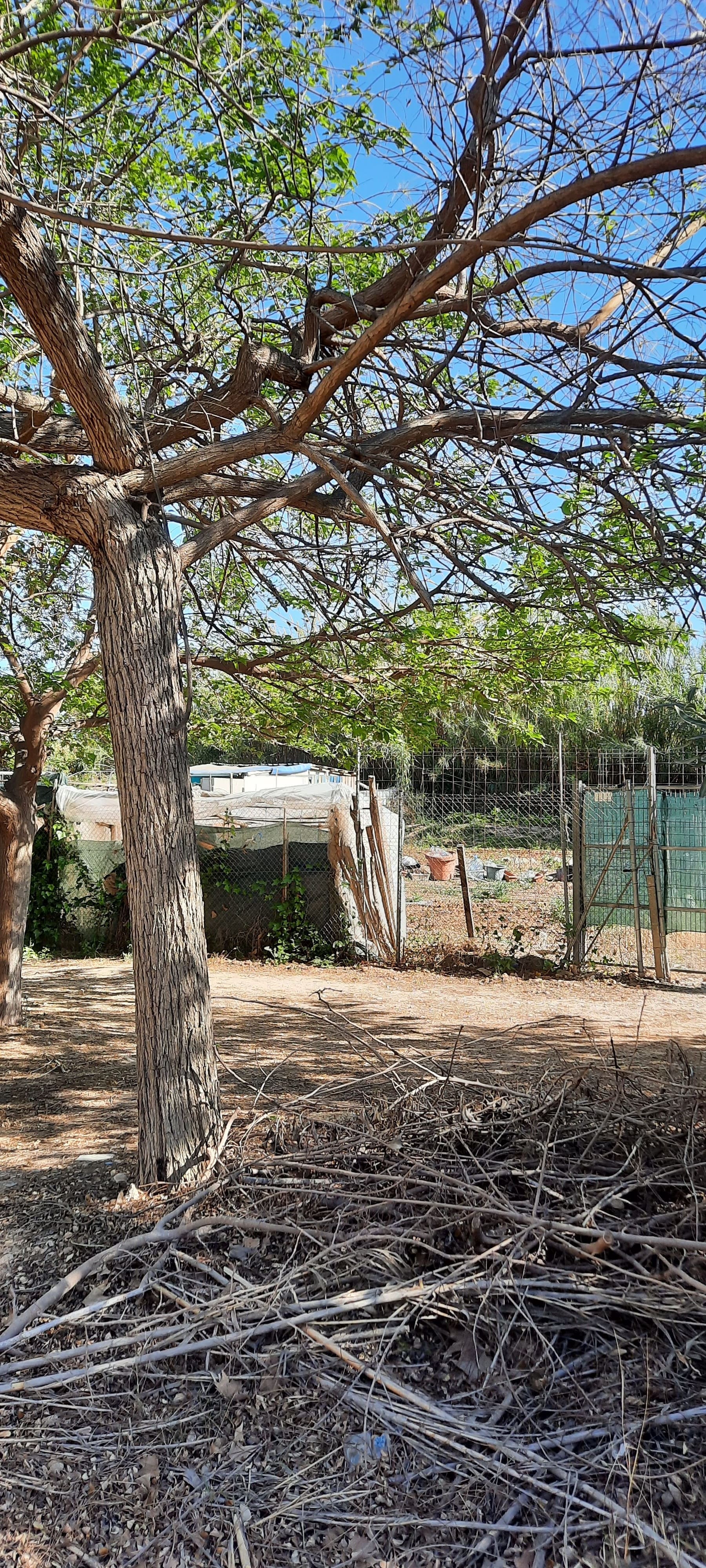
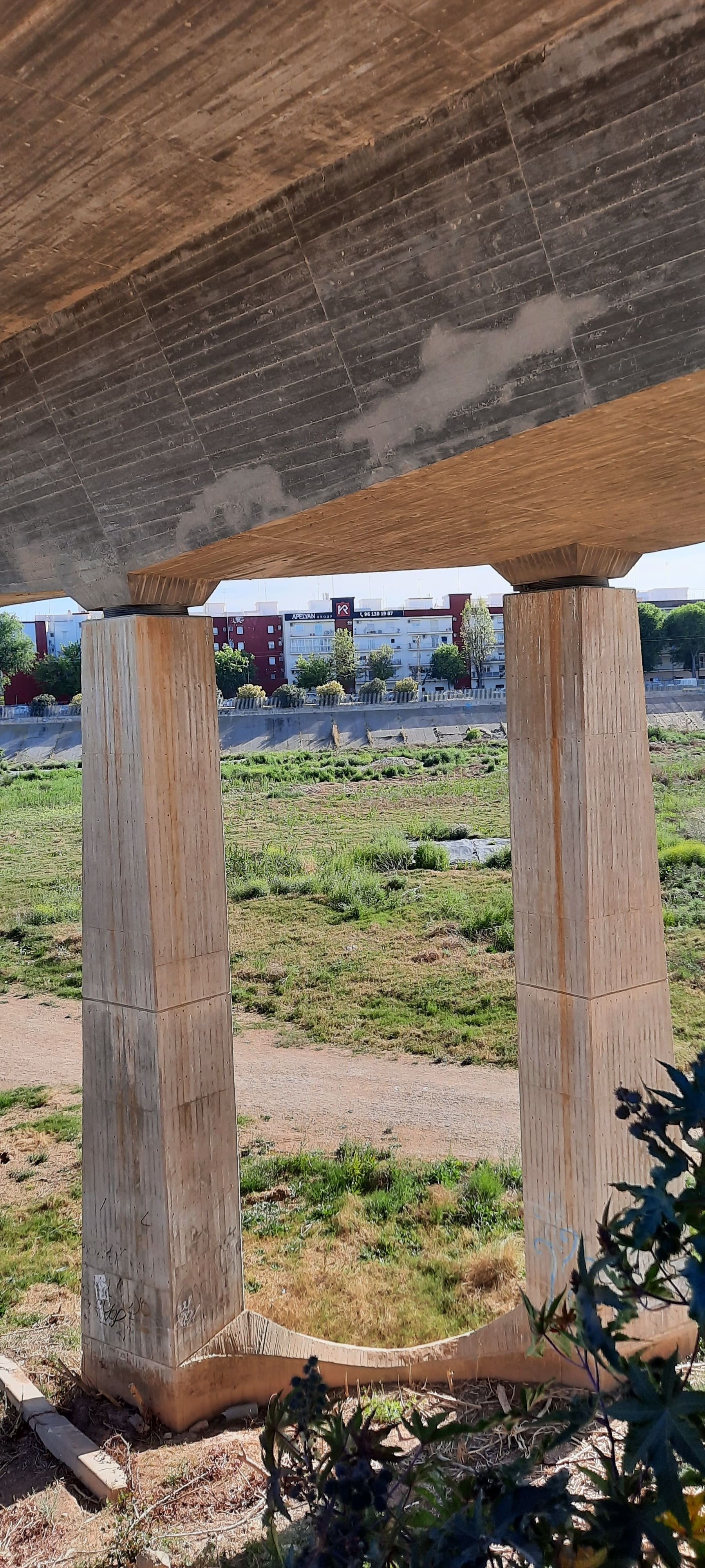
Sociopolis. Even today, despite the fact that in recent years the works have resumed and it seems that the houses that were once authorized in the middle of the orchard with the argument of social housing will be finished, the impression that they are outside of the context. The establishment of links with La Torre, which is the population center to which this housing estate is destined to relate, however, does not seem to be working.
For more information about this route see here
― The straight line that takes us from the Colón Metro Station to the Entrada del Francés (on Antonio Ferrandis Street, intersection with Amado Granell Mesado Avenue)
Hosted by Theresa Wilhusen
At the intersection of Matías Perelló and Luis Santángel streets we find, in a diagonal position, what looks like the remains of an old orchard path; in fact, it is called Canals Street. As a vestige of the shape of the pre-existing parcel before the urbanization of Ensanche.
For more information about this route see here
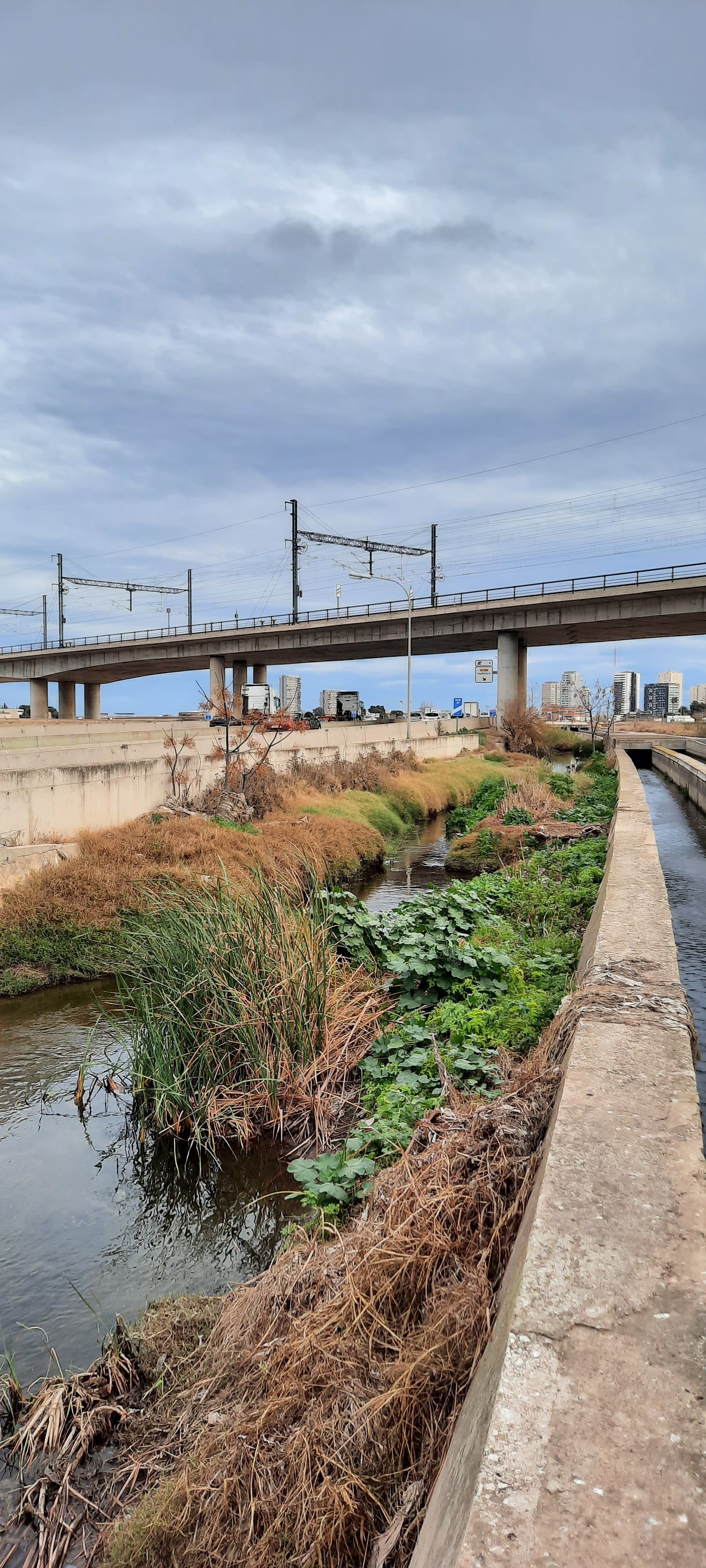
― From river to river: at the place where the old and new channels of the Turia River branch, a route from the Molí del Sol weir to the Quart de Poblet footbridge over the Turia.
Hosted by Javier Ribera
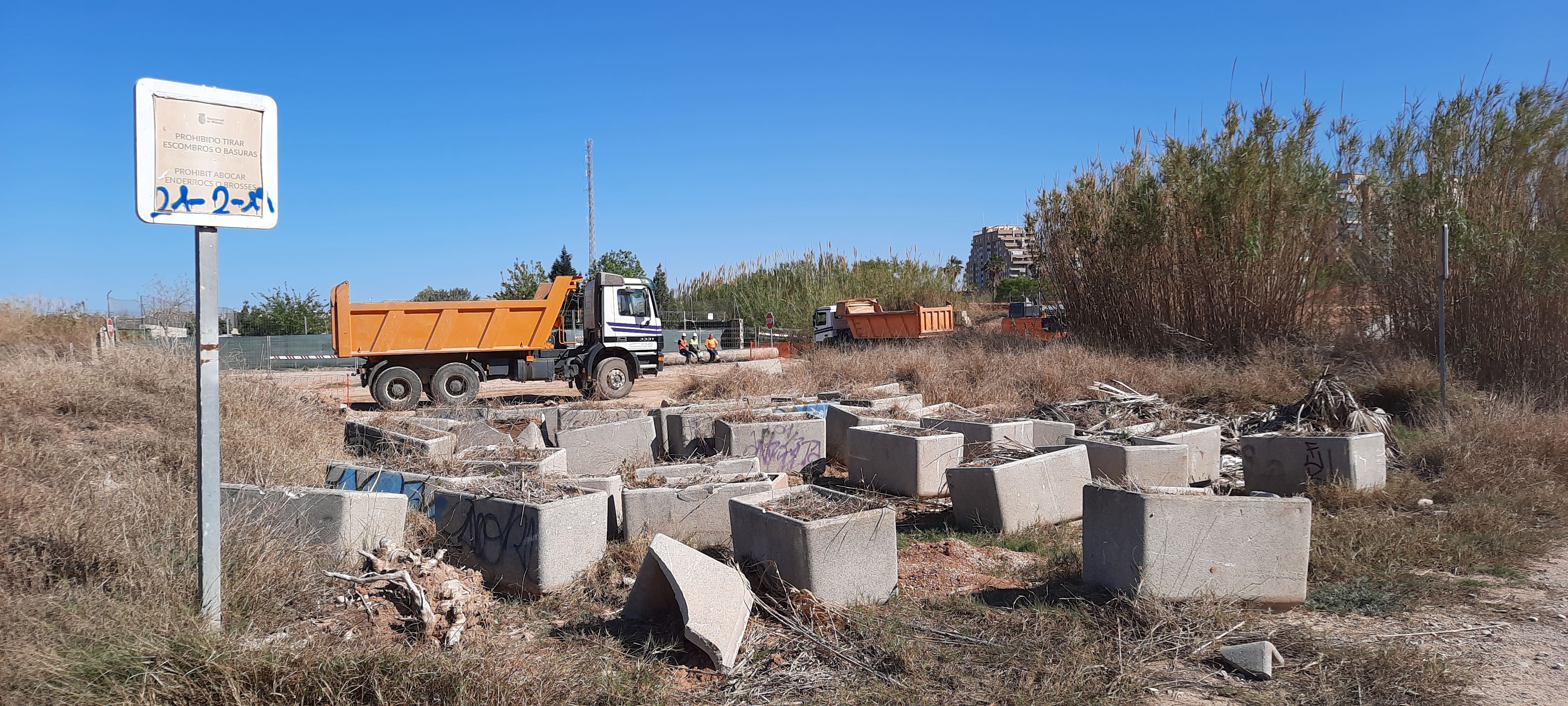
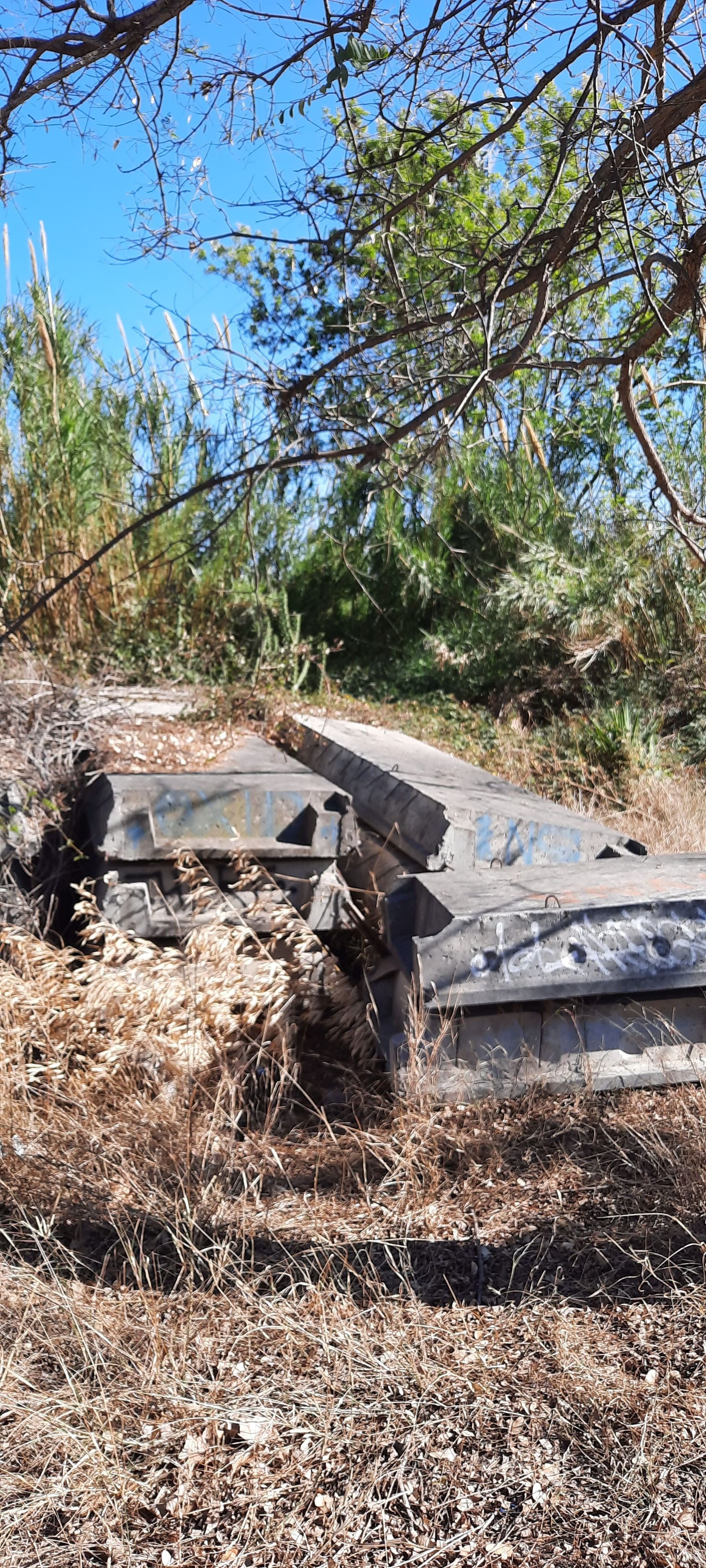
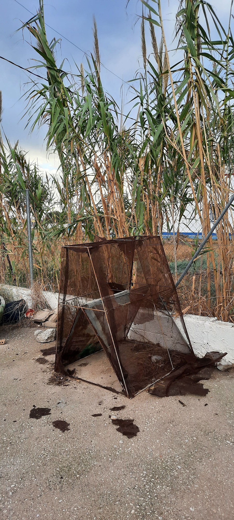
The old Turia channel, in the section between Parque de Cabecera and the point where it connects with the fork of the new Turia channel, is like no man’s land, in which planters removed from some public road in any of the surrounding towns in spontaneous landfills, under the sign “It is prohibited to throw debris”. In the background, the reconditioning work on the fields of a recently dismantled public service, in the riverbed protection zone.
For more information about this route see here
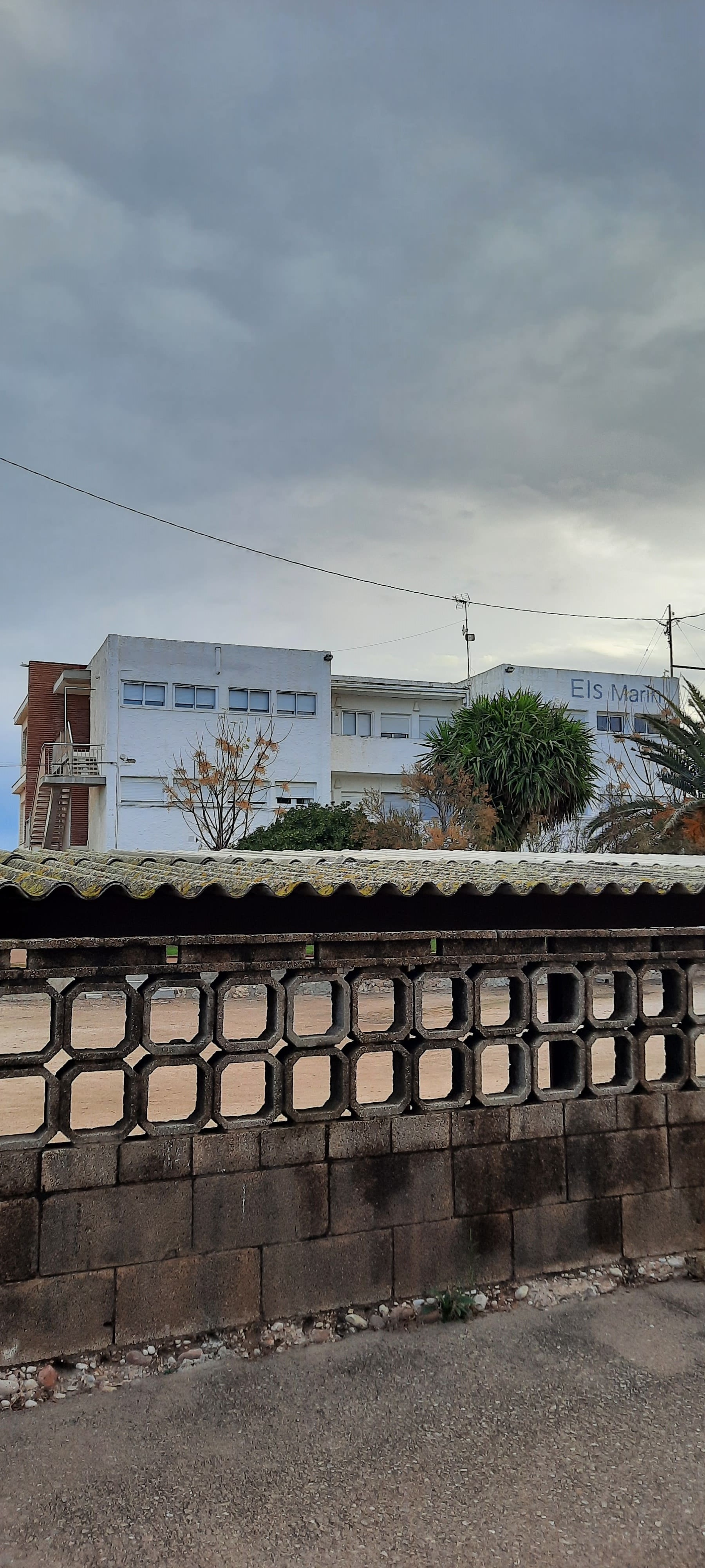
― El Perellonet. The gola, the elver fishing, the monot, the elver fishermen’s houses, the pyramids on the beach, the Yatemar and Els Marins hotel.
Hosted by Guillem Cervera
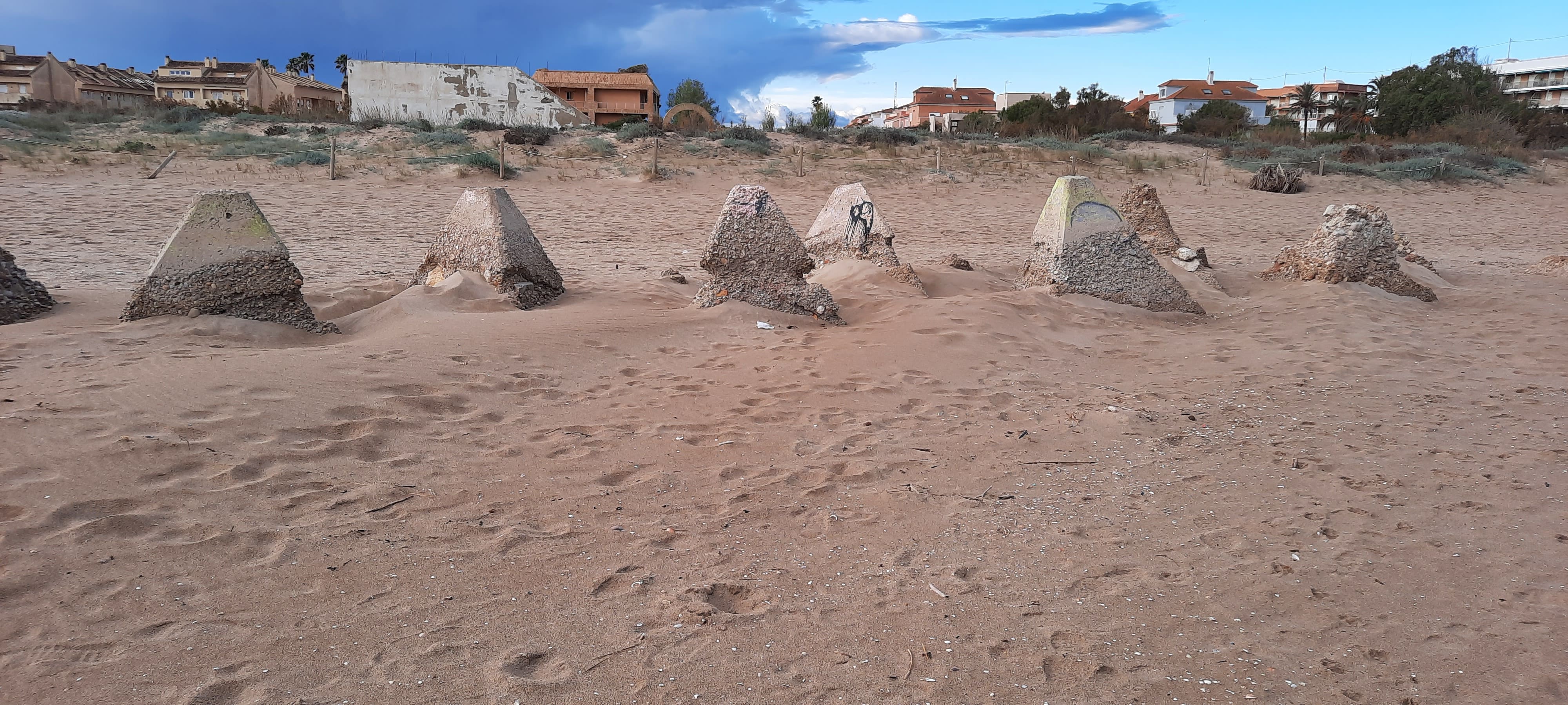
One of the built elements, and therefore the work of human beings, and therefore we have to understand that they are expressive of some type of thought, which attracts a lot of attention in El Perellonet due to its shape, are these concrete pyramids. To learn more about this element in the territory and in general about the El Perellonet, as we saw it on the route taken through this unique enclave of the city of Valencia, between the Albufera lake and the sea, see here
The knowledge of the entropic landscapes to which we have referred is proposed with variable purposes, which can range from the satisfaction of simple curiosity, to being loaded with reasons to want a more active participation (which can be the mere complaint or denunciation, although the Entropic Landscape Workshop is aimed at training professionals to prepare documents and manage procedures to obtain the declaration of Historical Site or Cultural Landscape from the authorities); If the reader wants to go further, we invite him to continue reading.
2. Invitation to the public, when taking their usual walks, to find entropy in the landscape.
In order to guide the search and identification of the signs of entropy, following the same absolutely practical method, rather than entering into theoretical disquisitions, what we have done is to incorporate in the carousel at the top of this post, a selection of images of entropic landscapes in the routes we have taken.
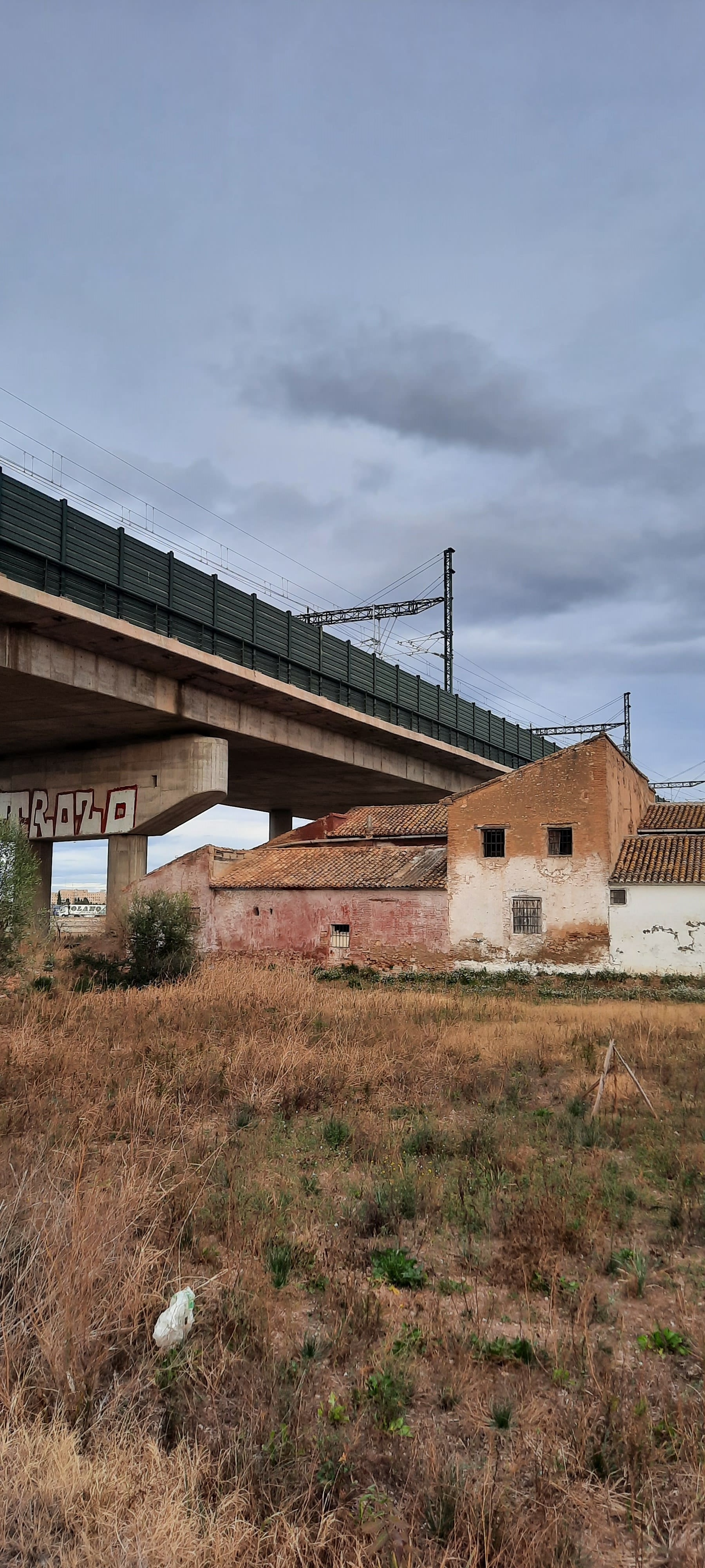
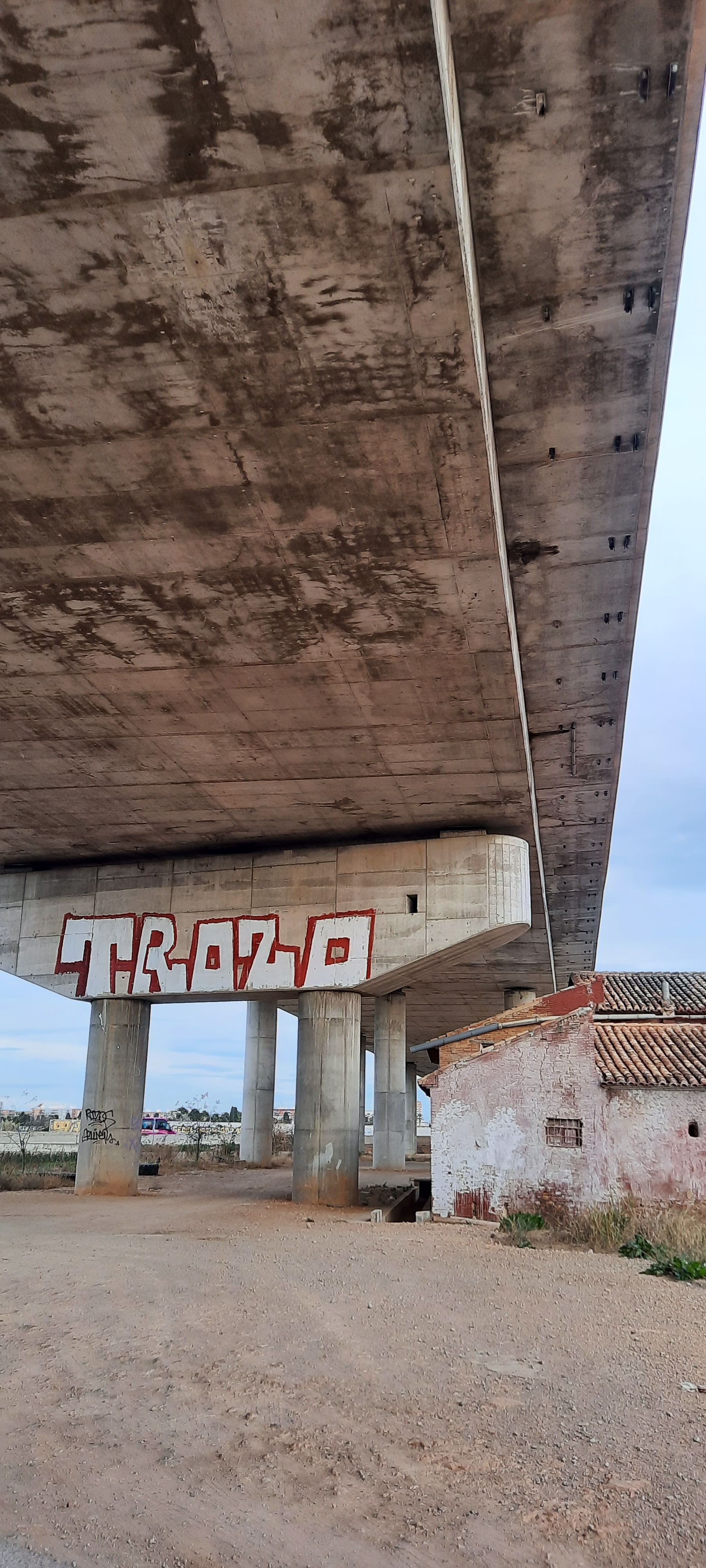
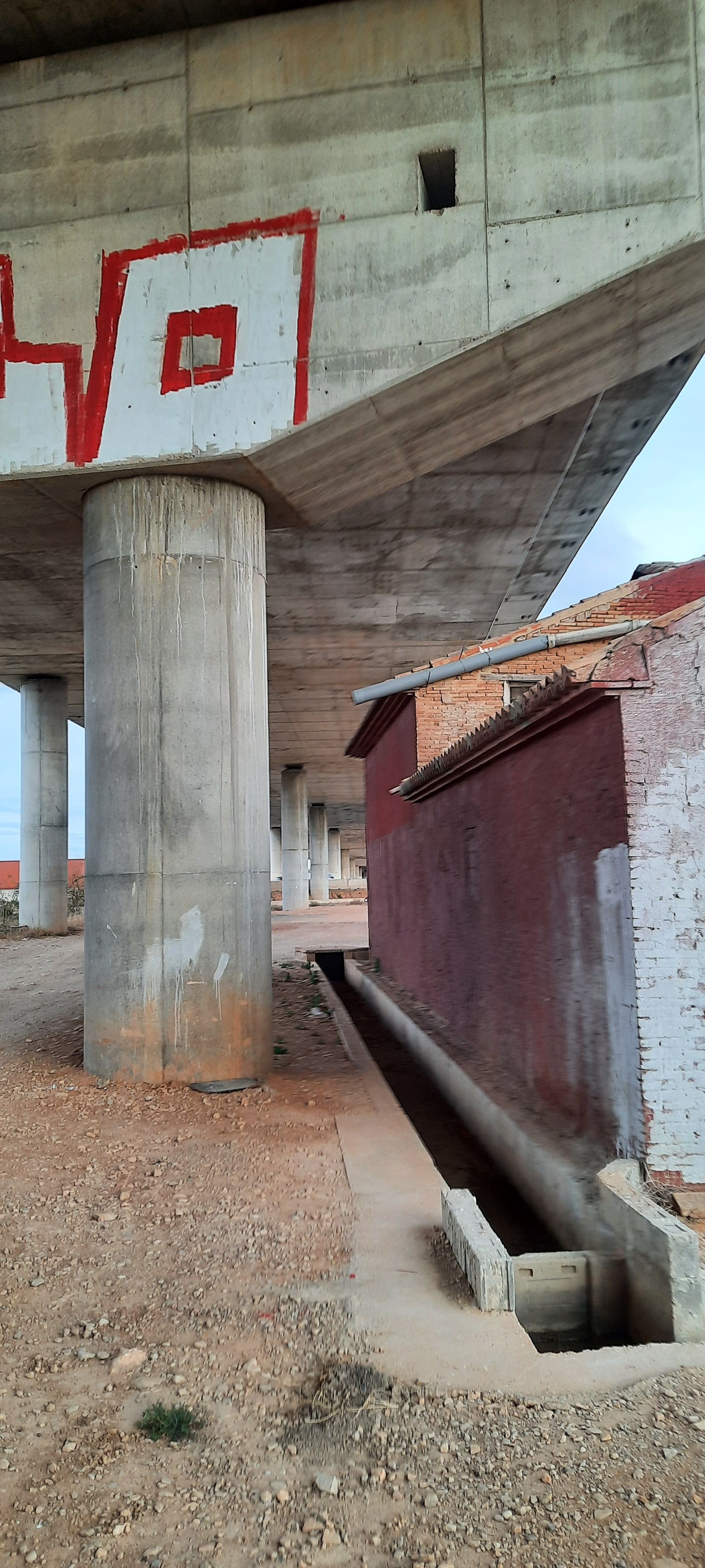
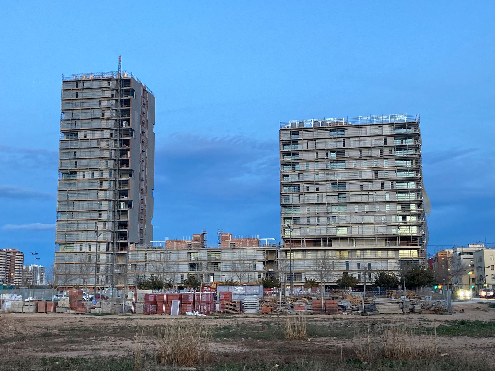
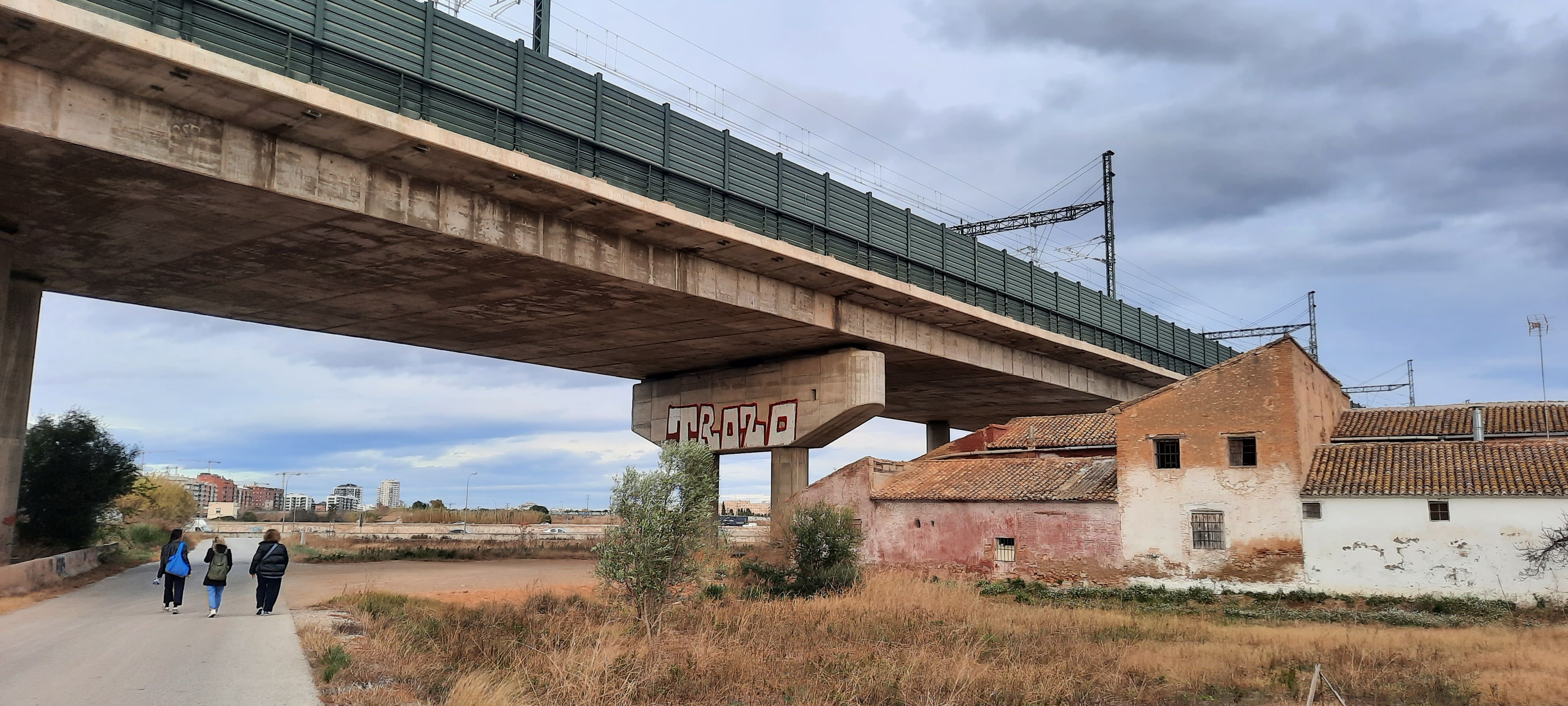
A general observation must be made: although taking a route by car does not completely exclude the possibility of looking at entropic landscapes, the truth is that walking will be easier to appreciate them. As an example: we have discovered a paradigmatic entropic landscape, which can be seen from a point near the Valencia Sud Metro stop. In that place, under the enormous infrastructure that serves as the entrance to the AVE train in the city of Valencia (Joaquín Sorolla Station), there is a large farmhouse. There is a competition between the two built elements in terms of size, because the farm is not small, but in the confrontation with the AVE infrastructure it loses and suddenly appears before our eyes as something tiny. This can be seen on a walk, but if we try to get to that point by car it will be very complicated, we would have to follow an intricate route through the orchard roads, whose layout responds to other needs, and upon arriving we would be stunned and incapable to appreciate the exceptionality of the contrast of the scales at play.
With the set of images that are in the carousel, it will necessarily awaken in the public an uncontrollable desire to record the entropic landscapes that are around them, those in which they spend their daily lives and to which, probably, they had not paid attention, because I had always thought that they were just that: everyday, even degraded, and therefore without interest, without the capacity to move within them any kind of emotional reaction, and, in particular, without the possibility of evoking some kind of memory or symbolizing some kind of personal connection with the environment. Something like, for example, what happened to us, when a little beyond that powerful image of the farmhouse under the AVE infrastructure, we found a spontaneous “closed” landfill (with a huge sign placed over the pile of rubble that makes it very clear, that it is “closed”), and we found a gate of those that serve to close or allow the passage of water through the canals and ditches that are used for irrigation in the orchard (about 30 cm x 30 cm ―because it is a little broken―), an authentic vestige of how alive the agricultural activity is in the orchard, and of the contingencies that can occur, such as a breakage of the gate, and the traces that all of them leave those incidents.
At that moment, one of the participants in this tour remembers what the name of that gate is in Valencian: “estallador”, which she had heard her father say when she was a child, and we could see it in the expression on her face, that many fibers of her soul relaxed, as if they had found the meeting point with a part of herself that she had given up as lost.
We were walking along the road known as “the old road of Picassent” (further ahead is the Term Cross, and a little further on the municipal district of Paiporta)―, when an imposing draft horse appeared pulling a cart, which, to increase Its weight and the resistance opposed to the force of the animal, hung from the same tractor wheels that drag along the poorly paved road. It is about the training of the animal for the “pull and drag” competition that will take place in the month of August in Xàtiva, according to what those who drive it tell us, when they stop when they see such a peculiar group drifting through the orchard. “I’m also from Xàtiva,” says our companion to the one driving the cart and the Percherón horse, which she tends to with sympathy, knowing that she is in the company of close people, and then, addressing us quietly, she tells us: “At the Xàtiva shooting and dragging fair, large amounts of money are at stake every summer”.
The reader who has come this far is because he wants more participation. At this point we invite you to tell us what you think of the entropic landscapes we have been talking about and those others that you may have recognized on your daily walks, sending us your considerations to the email:
Likewise, we propose the following:
3. Invitation to the public to participate in a photography contest of Valencian landscapes.
Organized by the Chair of Citizen Participation and Valencian Landscape, of the University of Valencia (Faculty of Geography and History), a photography contest of Valencian landscapes “The landscapes of the Natural Parks” is being held this summer, with open participation date until on September 16. There are prizes of €500, €300 and €200, for the first, second and third place.
All the information here:
https://www.uv.es/catedra-paisajes-valencianos/es/activityes-catedra/concurso/edicio-2024.html
Although the name of the call, which appeals to the landscapes of the Natural Parks, might seem to exclude cultural landscapes, of which entropic landscapes constitute the most characteristic expression in suburban peripheries, however, nothing could be further from the truth, as evidenced by the fact that entropic landscapes are not alien to Natural Parks, as occurs, for example, in the case of the Serra Gelada Natural Park.
Forming part of the metropolitan area of Benidorm, the Serra Gelada Natural Park houses within it, although clearly interrelated with the urban centers of Benidorm and Albir (Alfàs del Pi), a treatment plant and a desalination plant. We could also refer to the residential and care complex “Ciudad Patricia”, located on the border between the Natural Park and the low-density urban developments characteristic of the Serra Gelada foothills. But we are going to focus our attention on the treatment plant and the desalination plant, which will be joined sooner rather than later by a large water tank for irrigation, all of which will constitute a complex of service facilities with a footprint in the territory, of great territorial impact.
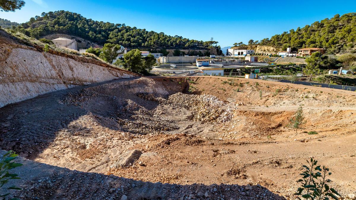
Treatment plant, desalination plant and water tank for irrigation under construction in the Serra Gelada Natural Park.
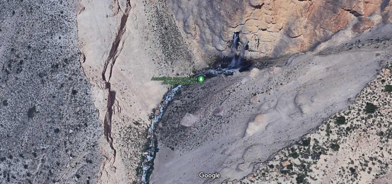
A part of the treated water in the Serra Gelada Natural Park is discharged through an underground channel that crosses the crest of the mountain range ―from its northern slope, where the treatment plant is located, to the southern face, characterized by a imposing cliff―, finally reaching the waters of the sea.
A relationship of balanced reciprocity between the city of Benidorm and the Serra Gelada would have demanded that, since the city sends its dirty water to the Serra Gelada to be purified, that the Serra Gelada would have returned those same waters to the city once purified, for example, to irrigate parks and gardens, instead of discharging the treated water into the sea. That is what Robert Smithson would have proposed, as he did in the case of the Central Park sludge ―see “Frederick Law Olmsted and the dialectical landscape”, 1973―. As the city dumped its debris from subways and drilling of all kinds into Central Park, where it was used to drain swampy areas, Robert Smithson proposed that Central Park dump the sludge that occupied some lagoons in Central Park, where the city I could put them to some use.
We invite the general public to this public participation process, and on June 20, 2024, at 7:00 p.m., we will see you at the opening of the exhibition in the showcase space of the UPV Editorial, located next to the Agora of the University.

Workshop on Entropic Landscape (2nd ed.)